
As I get ready for Conquer the Rock, I’m making a point to get lots of vert – that is, lots of vertical elevation gain, aka: running up hills. One of the hills I’m using to get lots of vert is Hickory Nut Mountain in Tallulah Falls, Georgia.
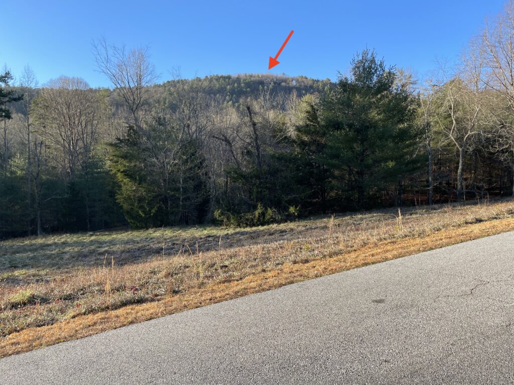
Hickory Nut Mountain is a partially developed mountain that sits just behind downtown Tallulah Falls. There’s a paved road that runs all the way to the top of the mountain and there are a couple of dozen houses that line the road and sit atop the mountain.
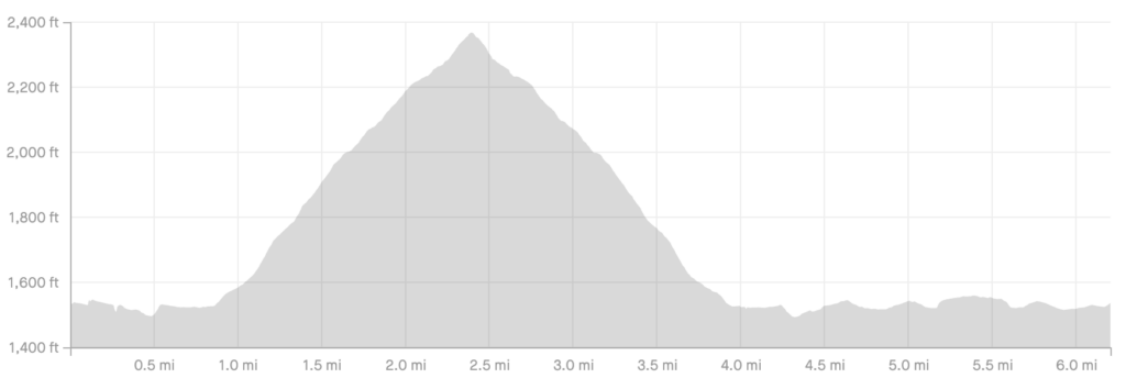
The road up Hickory Nut Mountain rises continuously for basically a mile and a half and in that mile and a half the road climbs roughly 830 feet, according to the barometric altimeter in my Garmin Forerunner 935.
At this point, my intent is to run Hickory Nut Mountain once or twice per week. I don’t worry about pace, I just try to keep running continuously, which at any pace is challenge enough.
The views from the top of Hickory Nut Mountain are spectacular. Here are a few of my favorite photos taken during recent runs.


Up up up!